
3D SITE SCANNING
Brisbane & South East Queensland
Statewide by arrangement
Millimetre-accurate site capture in a single visit. We laser scan your entire site in hours. Every dimension, every surface, every clash waiting to happen. Then we hand you data your project can actually use. No return trips. No "measure twice" disputes.
The most expensive dimension is the one you missed
Every fabricator, builder and designer knows the story. The tape measure said one thing. The plans says another. Now there's steel that doesn't fit, a crew standing around, and rework.
Site conditions never match the drawings — especially in renovations, retrofits and older structures where "as designed" and "as built" parted ways decades ago. Manual measurement captures the dimensions you thought to take. Laser scanning captures all of them.
One scan. Millions of measurements. Nothing missed.
ON SITE AND OUT OF YOUR WAY
3D scanning fits around a live site. No shutdown, no scaffold, no drama. Here's how a typical scan day runs.
Step 1 — Before we arrive
We confirm scope, access and any site inductions in advance. You tell us what the data needs to do. We plan scan positions around it.
Step 2 — On site
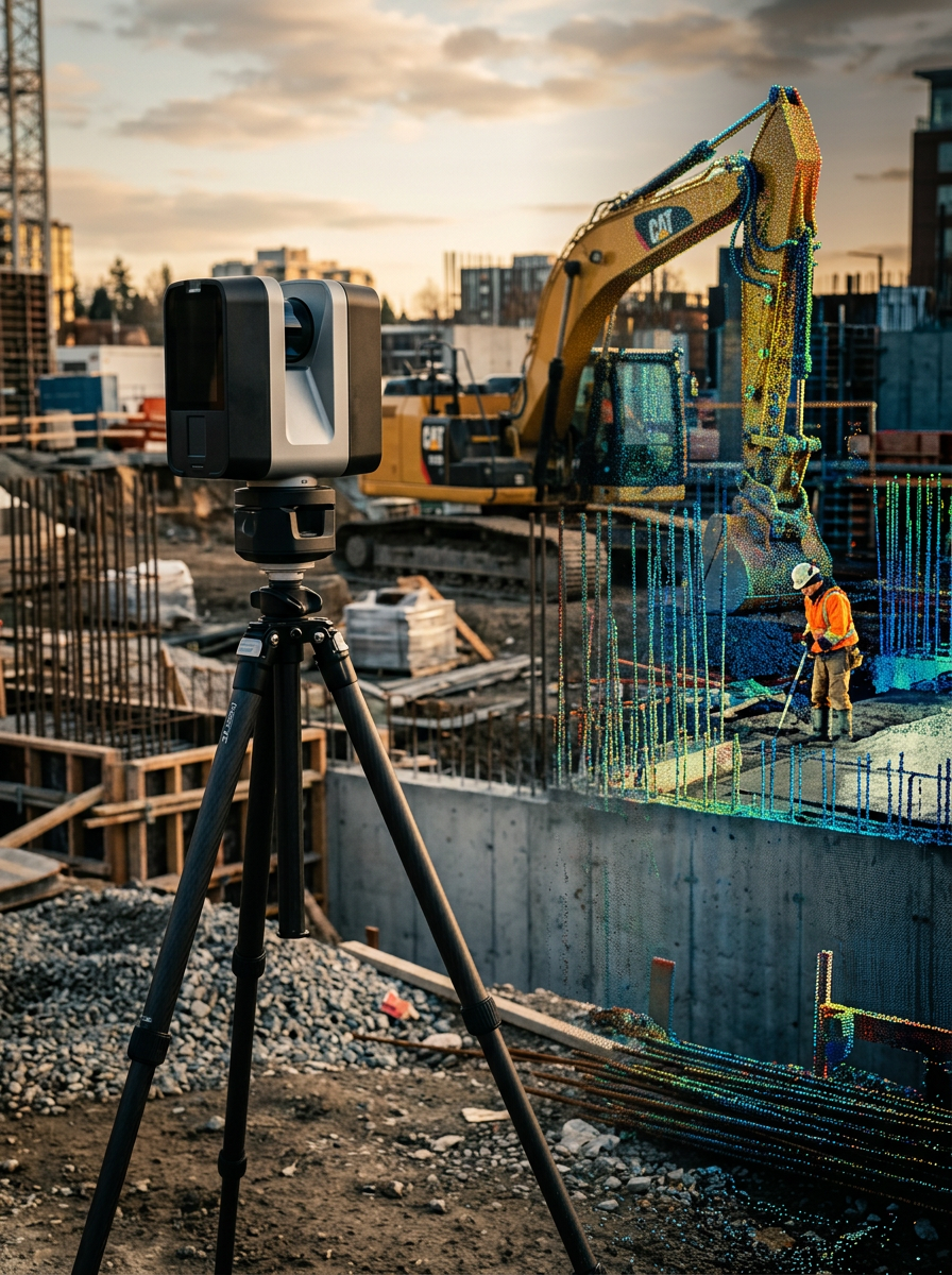
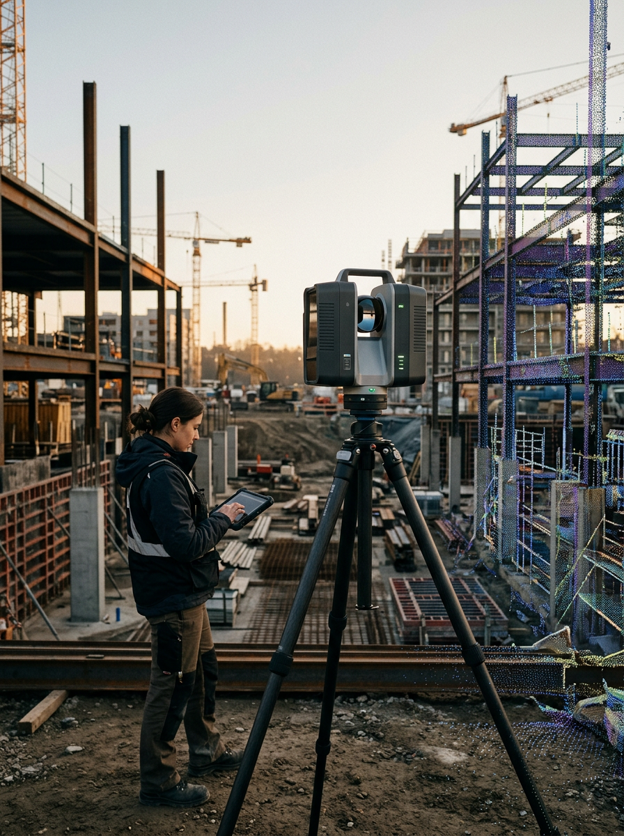
The scanner works from a tripod capturing millions of data points per second up to 130 meters away. Each scan position takes minutes. Most sites are fully captured in a few hours, and work around us continues the whole time.
Step 3 — Registration and quality check
Back in the office, individual scans are registered into a single unified point cloud and checked against a few onsite tape measurements just to make sure
Step 4 — Handover
You receive clean, registered scan data in the format your workflow needs or we carry it straight through and produce simplified CAD site models ready for design.
Scanned with the right tool for the job
Site work demands purpose-built hardware. We run professional Artec scanning equipment matched to the scale, accuracy and access conditions of your site — operated by the same people who turn the data into drawings.
Artec Ray II — long-range site capture
Our primary site scanner: a long-range LiDAR unit engineered for large structures, buildings and industrial environments.
Range up to 130 m
We capture roof structures, facades and overhead steel from ground level. No scaffold, no EWP, no working at height.
Accuracy of 1.9 mm at 10 m
Genuine engineering-grade capture, not a visual approximation. The data holds up when fabrication tolerances are on the line.
Up to 2 million points per second
Full coverage in hours, not days. Your site keeps running while we work.
Automatic on-board registration
Scans align as they're captured, so we confirm complete coverage before we leave. No "we'll have to come back" phone call.
This is the same class of equipment used on infrastructure, resources and industrial projects across Australia & because we're drafters first, every scan is captured with the end deliverable in mind.
A point cloud is the start of the project
Scan data on its own is just potential. The value is what it becomes: as-built drawings, CAD and BIM models, fabrication-ready shop drawings, or a reverse-engineered part that fits first time.
Because we're drafters first and scanner operators second, the same team that captures your site carries it through to the deliverable — no handover gaps, no "that's not what the scan meant."
Site scanning FAQ
-
Line of sight and a place to stand — that's most of it. The scanner works from a tripod at up to 130 m from the target, so we rarely need EWPs, scaffold or entry into live work zones. We hold the usual site cards and complete your induction requirements before arrival.
-
Each scan position takes minutes; a typical commercial site is captured in half a day or less. Large or complex sites may take a full day. We confirm duration when we scope the job.
-
Rain and heavy dust interfere with laser capture, so we schedule around serious weather. Normal site conditions — sun, wind, active trades — are no problem.
-
Our standard service area covers South East Queensland and Northern NSW — Brisbane, Gold Coast, Sunshine Coast, Ipswich, Logan, Moreton Bay, Redlands and surrounds. Beyond that we travel statewide for resources, infrastructure and regional projects, with travel quoted up front as part of the job.
-
Registered, quality-checked scan data in the format your workflow needs — or we take it through to 2D as-builts, 3D CAD or BIM models in-house. Format questions are covered in detail on our Scan-to-CAD page.
-
You get a fixed quote based on site size, complexity, access and the deliverable required. Send us the job and we'll turn a quote around quickly.
READY TO CAPTURE YOUR SITE?
Send us the project — location, what you're building, and what the data needs to do. We'll come back with a fixed quote and available scan dates.